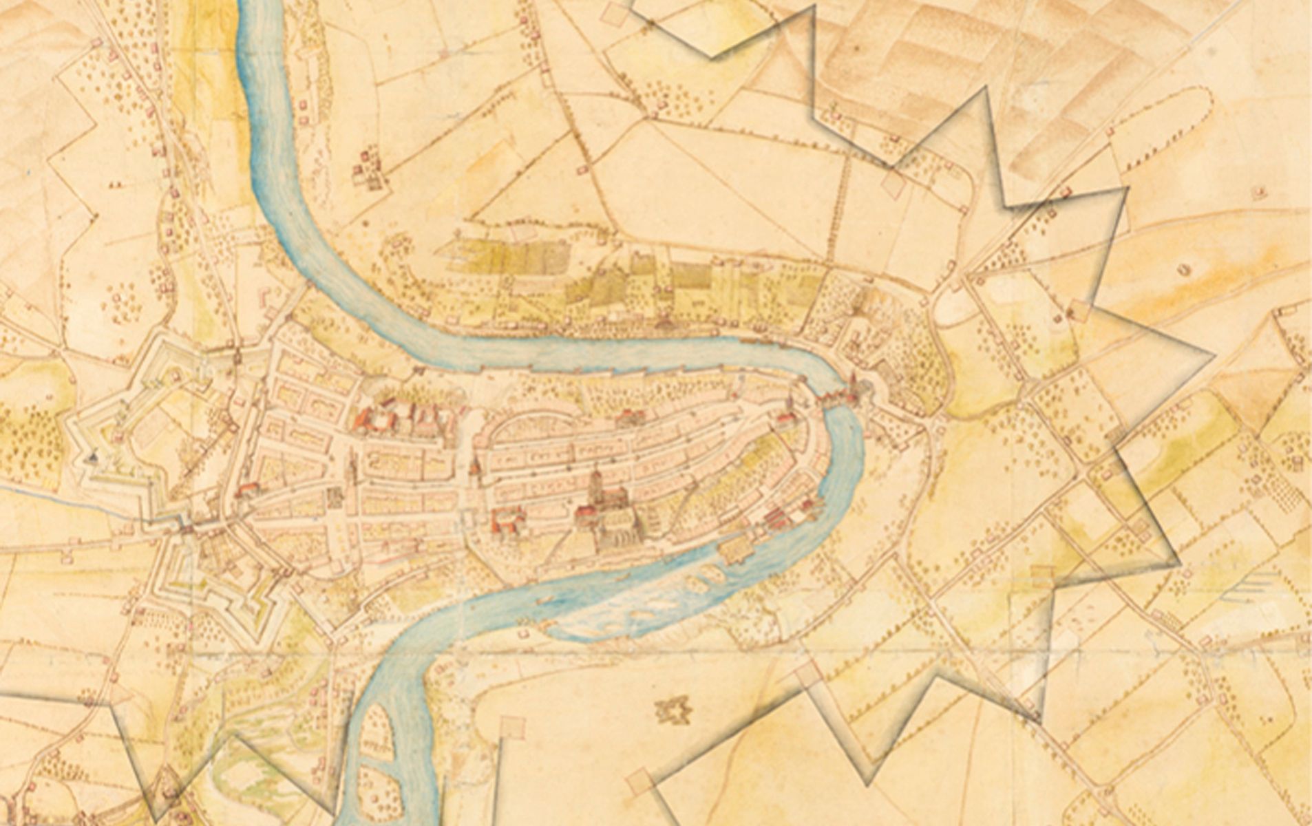
The BiG's exhibition 'The Schauenburg collection – a uniquely valuable collection of maps'
Event Date
The Schauenburg collection, which has been owned by the Swiss Confederation since 1881, is the focus of a new exhibition at the Library Am Guisanplatz.
The Schauenburg collection contains 68 hand-drawn maps and plans from the 17th and 18th centuries. They show terrains, fortresses, ground plans and the Mittelland, which was under Bernese rule. In 1798, the maps were stolen from Bern by the Alsatian general Alexis Balthasar Henri Antoine von Schauenburg (1748-1831). They were later returned to the Swiss Confederation in 1881, and today are kept in the State Archives of Bern. The BiG's current exhibition presents the history of this unique collection, and shows a selection of these maps in their original size.
The maps and their authors
Many of the maps were authored by military engineers. The exhibition contains works by the following cartographers: Valentin Friderich (died around 1640), Hans Conrad Gyger (1599-1674), Samuel Bodmer (1652-1724), Johann Adam Riediger (1680-1756) and Johann Anton Herbort (1702-1757).
Public tours
Five public guided tours of the Schauenburg collection will take place in the Bern State Archives over the course of the exhibition's run. Interested visitors can register online at bibliothek@gs-vbs.admin.ch up to one week before the tour date. Guided tours are free of charge; groups are limited to 20 people. The meeting point is in front of the State Archives at Falkenplatz 4, 3001 Bern.
Thursday, 16 May 2019, 5pm – 5.45pm
Thursday, 22 August 2019, 5pm – 5.45pm
Wednesday, 16 October 2019, 12.30pm – 1.15pm
Tuesday, 10 December 2019, 12.30pm – 1.15pm
Tuesday, 18 February 2020, 12.30pm – 1.15pm


